May, 27, 2025. Wildfires have become an increasingly destructive issue across both protected and unprotected landscapes, and the Tsavo Conservation Area (TCA) is no exception. In recent years, the Tsavo landscape has witnessed a sharp rise in the frequency and intensity of wildfires, making it one of the most affected regions in the country.
Geospatial data presented at a recent workshop revealed that wildfire activity in Tsavo peaks between July and October, showing distinct spatial patterns compared to other conservation areas nationwide.
These findings highlight the urgent need for targeted fire management strategies and collaborative efforts to mitigate the escalating threat.
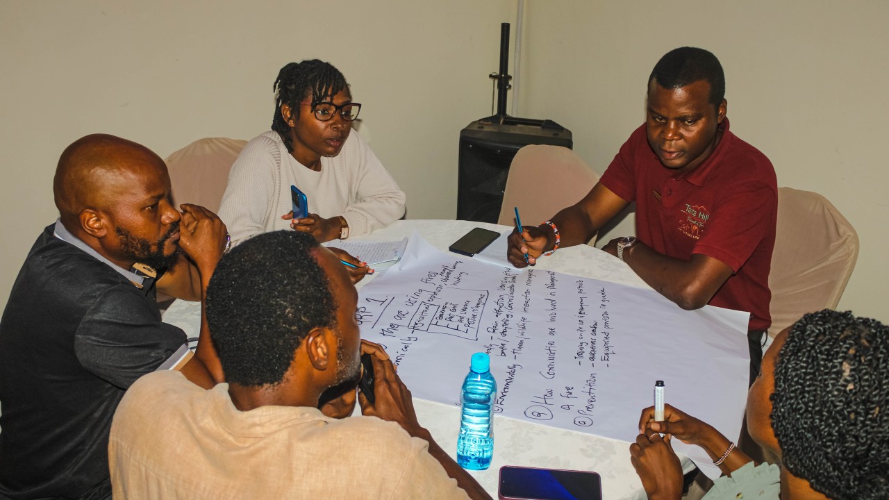
In response to this growing crisis, Taita Taveta Wildlife Conservancies Association, in collaboration with King’s College London Leverhulme Centre for Wildfires, Environment and Society, African Wildlife Foundation WWF-Kenya Save the Elephants and Taita Taveta County Government, gathered for a three-day workshop aimed at developing an Integrated Fire Management Plan for Tsavo’s multi-use.
Listening to the Landscape: Indigenous knowledge systems and lived experiences
The goal is to integrate indigenous and local community knowledge into formal fire management frameworks. The community possesses traditions and beliefs that have long guided fire practices across generations.
The smoke rises to the sky and becomes clouds. When we burn, we expect rain.
Shared an elder from Chyulu, illustrating how fire was historically seen not just as a land tool, but as a climate ritual.
Such input was not just subjective but became the foundation for comparative analysis alongside scientific fire data.
The Science Speaks: Mapping Fire with Geospatial Data
Amos Chege Muthiuru, a researcher from King’s College London, presented satellite-based mapping of fire patterns in Tsavo.
What we’re seeing is a consistent spread of fires during the dry season, especially from July through October. The spatial spread is influenced by vegetation type, human activity, and landscape accessibility.
Dr. Naftal Kariuki from Garissa University built on this, sharing research linking fire incidents with climate change.
Fire is not just a standalone threat. It interacts with climate systems—reduced rainfall, rising temperatures, and invasive species are creating a perfect storm.
Science alone cannot battle wildfires; it must work in collaboration with community perspectives, and this workshop proves the need for such a union.
Complex Challenges on the Ground
While satellite data gives us a broad view of the fires, the challenges of managing them on the ground are far more complex.
Our fire stations have no equipment, no water, and no trained responders.
Shared an Officer from the County Government of Taita Taveta.
When fire breaks out, we can’t get there on time.
Further, water scarcity was cited as a crippling barrier. Many rivers that once served as natural firebreaks have dried up, making it difficult to suppress fires.
We used to count on some of the rivers as fire breaks. Now the rivers are gone.
Emphasized a local elder.
The landscape itself complicates things.
The terrain is unforgiving. You can’t just drive into a fire site.
Added Tabitha Ndombolo from Kasigau Conservancy.
Invasive species have also increased the fuel load.
The bushes grow fast and thick. When they catch fire, it spreads unpredictably.
Said Phillip Mwangómbe, Manager of Taita Hills Wildlife Sanctuary.
Unintentional human-caused fires are a growing concern.
Pastoralists light small fires to clear land, but one wind blows and it’s a disaster.
Explained Cecil Peter, Manager of Mgeno Ranch & Conservancy. Others pointed to fires ignited by human activities, such as charcoal burners and artisanal miners.
There’s also a legal and policy vacuum. High fees for complying with OSHA guidelines discourage best practices, and fire reporting systems remain unclear and ineffective, making it hard to manage wildfires.
Notably, the degradation of traditional fire knowledge and growing generational gaps have left communities feeling powerless.
Our youth no longer learn from the elders. The knowledge is dying,
One community elder remarked solemnly.
Building the Fire Management Blueprint
In the face of these challenges, participants resolved to co-develop a Non-Protected Areas Fire Management Plan for Tsavo.
This plan must reflect not just expert data but also the voices of the people who live and work on this land.
Emphasized Sylvester Mwangómbe, Taita Taveta County Forester.
Looking Ahead
A follow-up session is scheduled for Q4 of 2025 to validate and finalize the integrated fire management plan. This will be preceded by public participation forums to be held across communities in Tsavo to gather more insights.
It is time to stop talking about community involvement and start practicing it.
One of the participants emphasized.
We don’t want to be fire victims anymore—we want to be fire stewards.
With the right blend of traditional wisdom, modern science, and collaborative governance, the Tsavo landscape stands a real chance of addressing the wildfire crisis.